Rwenzori Mountains National Park
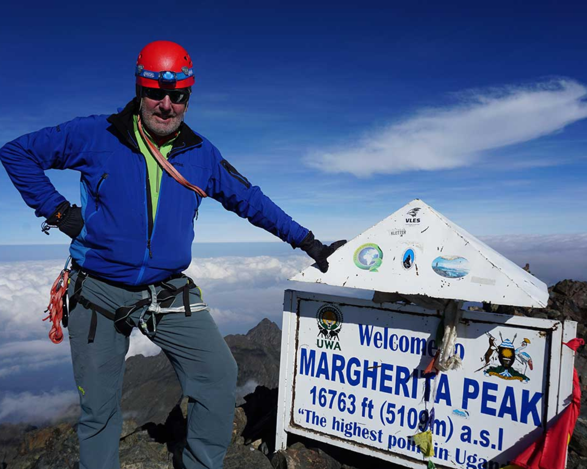
Size: 996km2 The park was gazetted in 1991 and was recognized as a World Heritage site in 1994 and Ramsar site in 2008. Highest point: 5,109m above sea level on Mt Stanley's Margherita Peak. Mt. Stanley is bisected by the border with DR Congo. The Rwenzori is not volcanic like East Africa’s other major mountains but is a block of rock upfaulted through the floor of the Western Rift Valley. The Rwenzoris were christened the "Mountains of the Moon" by the Alexandrine geographer Ptolemy in AD 150. The explorer Henry Stanley placed the Rwenzori on the map on 24th May 1888. He labelled it ‘Ruwenzori’, a local name which he recorded as meaning “Rain-Maker” or “Cloud-King.” The oldest recorded person to reach Margherita Peak was Ms Beryl Park aged 78 in 2010.
The Rwenzoris – the fabled Mountains of the Moon – lie in western Uganda along the Uganda-Congo border. The equatorial snow peaks include the third highest point in Africa, while the lower slopes are blanketed in moorland, bamboo and rich, moist montane forest.

